To get information about Programme start and application calling Details, please contact DCEU or Programme Coordinator!
Introduction
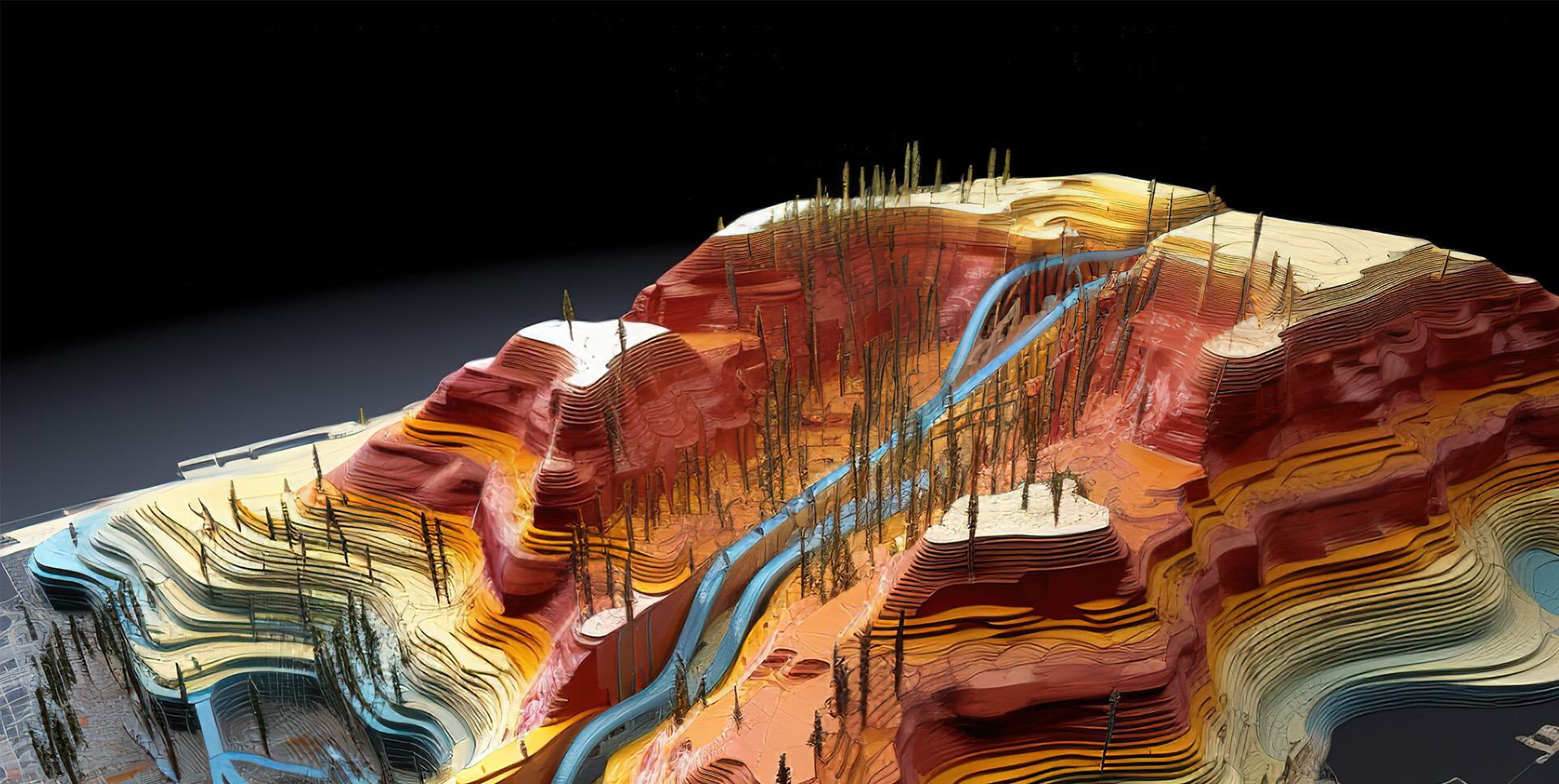
The Department of Geography at the University of Ruhuna introduces a Diploma in Geographical Information Science, a comprehensive program designed for graduates, non-graduates, professionals, and others interested in spatial data analysis. This diploma, aligned with SLQF level 3, provides comprehensive knowledge of the latest tools, methods, and technologies used in Geo-Informatics, offering a focused and practical approach to GIS education. It aims to build capacity by equipping individuals with the essential knowledge and skills required by today's dynamic labor market. Recognizing the increasing importance of spatial data analysis, this one-year program provides a comprehensive understanding of GIS principles and hands-on experience to develop essential workplace skills. Students will learn to collect, analyze, and interpret geospatial data, create detailed maps and spatial visualizations, and analyze and interpret remote sensing data. The program integrates knowledge and skills from related disciplines, including digital image processing, computer programming, database management, cartography, and remote sensing.
A key objective is to enhance students' employability in diverse fields such as urban planning, environmental management, agriculture and water resource management, and disaster management. The curriculum focuses on developing practical skills, enabling students to apply geospatial tools and technologies to solve real-world problems and contribute to informed decision-making. It also cultivates the ability to design and conduct development projects using practical work across various geospatial science fields. Upon completion, students will be able to define and interpret the theoretical foundations of remote sensing and GIS, utilize GIS tools and techniques, prepare maps and visualizations, analyze remote sensing data, and apply GIS and remote sensing skills to address spatial issues. This diploma fills a crucial gap in the Southern Province of Sri Lanka, providing a unique opportunity to gain valuable GIS expertise. It caters to those seeking specialized knowledge and skills to meet the demands of the modern job market.
FAQS
A person seeking admission for the Dip (Geog Info Sci) shall have the following qualifications:
- Passed the General Certificate of Education (Advanced level) or an equivalent qualification, or
- Obtained a foundation course equivalent to SLQF level 2 after a minimum of 12 years of schooling followed by passing an aptitude test or
- Completion of NVQF Level 05 or
- Completion of NVQF level 4 with accredited work experience or accredited prior learning followed by a corresponding cognitive bridging programme of a minimum of 30 credits as determined by the academic authority of the HEI concerned may also be considered as an equivalent qualification for admission or
- Any other relevant qualification accepted by the Senate of the University.
Lectures, classroom discussions, tutorials, presentations, group works, practical, Field visits, self-learning
A student shall be eligible for the award of the Diploma if he/she has obtained;
(a) a minimum of 30 credits for Diploma from the course units as prescribed by the Regulation within the time period stipulated therein, and
(b) a minimum of Grade Point Average of 2.00, and
(c) no more than one C- grade
The Diploma in Geographical Information Science is a one-year (two-semester) program consisting of 10 compulsory course modules. Instruction will be provided in English and/or Sinhala, with a total of 285 theory hours, 330 practical hours, and 885 notional hours. The maximum time allowed for completion is two academic years. Assessment for each module (except the Independent GIS Mini Project) will be based on continuous assessments (30-50% of the final grade) and a semester-end written examination (50-70%). Continuous assessments, of which there will be a minimum of two and a maximum of three per module, may include take-home assignments, quizzes, term papers, classroom tests, mid-term tests, presentations, projects, case study presentations, and viva-voce. The specific weightage assigned to each component of continuous assessment and the semester-end examination will be announced by the course coordinator at the beginning of each module. The Independent GIS Mini Project will be evaluated solely based on a project report.
| No. | Semester | Module Code | Module Name | Credit |
|---|---|---|---|---|
| 1 | 1 | DGIS11313 | Fundamentals of Geographic Information Systems | 3 |
| 2 | 1 | DGIS11323 | Basic Cartography | 3 |
| 3 | 1 | DGIS11333 | Fundamentals of Remote Sensing | 3 |
| 4 | 1 | DGIS11343 | Global Positioning System | 3 |
| 5 | 1 | DGIS11353 | Applications of Remote Sensing and GIS | 3 |
| 6 | 2 | DGIS12313 | Geographical Data Analysis | 3 |
| 7 | 2 | DGIS12323 | Digital Image Processing | 3 |
| 8 | 2 | DGIS12333 | Computer Programming for GIS | 3 |
| 9 | 2 | DGIS12343 | Introduction to Database Management Systems | 3 |
| 10 | 2 | DGIS12353 | Independent GIS Mini Project | 3 |
| Total | 30 | |||
- 1. Chair Professor G.P.T.S. Hemakumara
- 2. Professor S.L.J. Fernando
- 3. Professor S. Wijerathne
- 4. Dr Palitha Amaraweera
- 5. Dr. L.G.D.S. Yapa
- 6. Dr D.C.B. Jayasinghe
* The teaching panel also consists of external experts; hence, they may be subjected to vary.
English/Sinhala